From Drone LiDAR to BIM: Building a More Accurate Digital Construction Workflow
Accurate, current site information is the foundation of sound construction planning and control. Read more on Vision Constructors for practical industry insights.
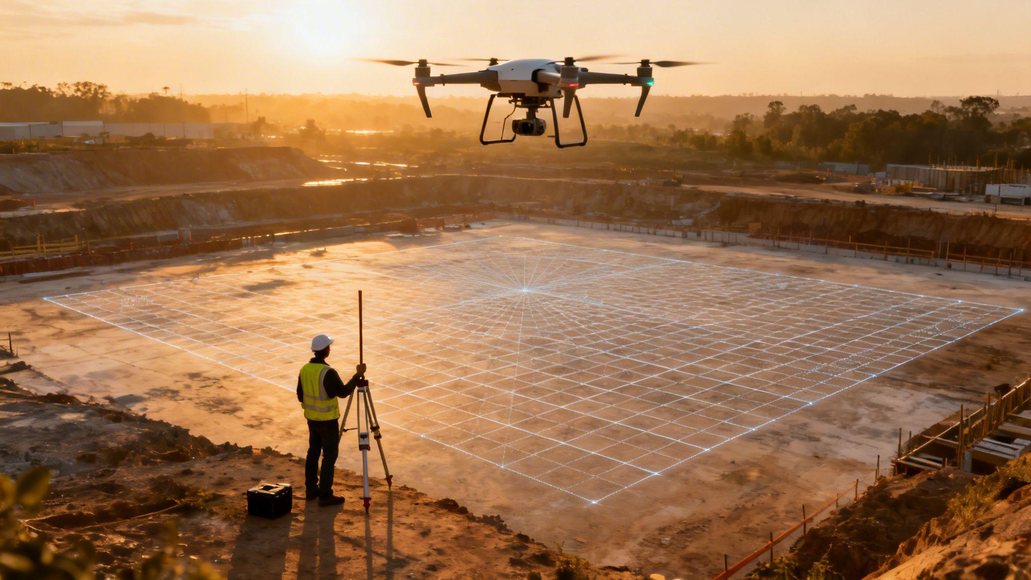
Accurate, current site information is the foundation of sound construction planning and control. Yet many projects still contend with incomplete existing-condition records, changing terrain, inaccessible areas, and a gap between what was designed and what has actually been built. For firms advancing digital construction practices, including Vision Constructors, connecting field reality to the project model is an increasingly important part of reliable decision-making.
A Drone LiDAR to BIM workflow helps close that gap. Drone-mounted LiDAR can rapidly capture three-dimensional conditions across a site, while Building Information Modeling (BIM) provides the structured digital environment for design coordination, construction planning, documentation, and model-based comparison. When these technologies are properly integrated, project teams can use measured point-cloud data to inform terrain analysis, site documentation, construction progress tracking, scan-to-BIM modeling, and as-built verification.
The value is not simply in collecting more data. It lies in collecting suitable data, validating it, aligning it with the project coordinate system, and making it usable within the BIM process.
Understanding Drone LiDAR in Construction
LiDAR short for Light Detection and Ranging is a remote-sensing method that measures distance by emitting laser pulses and calculating how long they take to return after striking a surface. A drone LiDAR system combines a laser scanner with positioning and motion-measurement components, typically including GNSS/GPS and an inertial measurement unit (IMU).
As the aircraft travels along a planned flight path, the sensor records many laser returns from the ground, structures, vegetation, stockpiles, utilities, and other visible features. The resulting collection of spatial measurements is known as a LiDAR point cloud. Each point has coordinate information, and many datasets also retain attributes such as elevation, intensity, classification, and color when imagery is integrated.
For construction teams, drone LiDAR in construction can be useful because it captures broad areas from above without requiring field personnel to access every location directly. This can be particularly relevant for active earthworks, linear infrastructure corridors, large sites, steep terrain, roof areas, excavation zones, and locations where site access is limited or operationally disruptive.
Aerial LiDAR does not replace conventional surveying in every circumstance. Instead, it can complement survey control, terrestrial scanning, total-station work, GNSS observations, and field verification. The appropriate combination depends on the required accuracy, line-of-sight constraints, project scope, and the decisions that the data will support.
Integrating Drone LiDAR Data Into BIM
A useful digital construction workflow begins before the drone takes off. The project team should define what must be measured, the expected level of detail, the coordinate reference system, the required deliverables, and how the information will be used in BIM.
Point cloud processing
Raw LiDAR observations need processing before they can support BIM integration. Processing commonly includes trajectory calculation, sensor calibration, point-cloud generation, filtering, and classification. The goal is to produce a dataset that is clear enough for the intended purpose without retaining unnecessary noise or irrelevant points.
For example, a terrain-mapping workflow may classify points into ground, vegetation, and structures so that the project team can create a digital terrain model from the ground points. A structural documentation workflow may preserve denser point coverage around foundations, columns, facade elements, or installed building services.
Registration and alignment
Registration is the process of bringing point-cloud data from multiple flight lines, survey dates, or capture systems into a common spatial position. Alignment is especially important when teams compare repeated surveys over time or overlay a point cloud with the BIM model.
Poor registration can create apparent construction discrepancies that are actually caused by data misalignment. Before interpreting model-to-field differences, teams should confirm that the point cloud, survey control, and BIM model share a consistent reference framework.
Coordinate systems and georeferencing
Georeferencing places the point cloud in a recognized project coordinate system. This can involve ground-control targets, checkpoints, GNSS data, site benchmarks, or other surveyed control. The BIM model must be aligned to the same coordinate basis if model comparisons are to be meaningful.
This stage deserves careful attention. A technically detailed point cloud is not necessarily useful for verification if its coordinates are shifted, rotated, or based on an incompatible datum. The U.S. Geological Survey’s LiDAR documentation, for example, describes flight-line data being calibrated, georeferenced, and adjusted to ground control illustrating the importance of controlled spatial alignment rather than relying solely on raw aerial observations.
Importing data and updating models
Once processed and aligned, the LiDAR point cloud can be imported or linked into compatible BIM, coordination, or model-review software. Teams may use the data as a visual and measurable reference rather than attempting to model every captured surface.
The point cloud can support several tasks:
-
Reviewing existing conditions before design or construction planning
-
Creating simplified terrain, surface, or site-context models
-
Checking installed work against modeled geometry
-
Updating digital models where field conditions differ from available records
-
Coordinating design, survey, earthwork, and construction teams around the same spatial reference
Software compatibility matters. File formats, coordinate handling, model size, level-of-detail requirements, and version control should be established early so that data can move between the survey, civil, BIM, and construction-management environments without losing its intended spatial context.
Key Applications in BIM Workflows
Site documentation
Existing-condition information can quickly become outdated, particularly on sites undergoing demolition, excavation, grading, or phased construction. Drone LiDAR provides a way to establish a detailed spatial record of the visible site at a particular point in time.
A baseline capture may show terrain, road edges, retaining walls, structures, drainage features, stockpiles, and accessible exterior building surfaces. This information can be linked to the BIM environment to give designers, engineers, and construction managers a more complete visual and dimensional understanding of the work area.
Resources on Drone-based aerial mapping and geospatial data can also help project teams understand how aerially collected spatial information may be applied to site context, mapping, and planning decisions. The key is to match the mapping method and deliverable to the project’s actual documentation requirements.
Terrain mapping
Terrain is central to grading, drainage, access planning, site logistics, and infrastructure design. Ground-classified LiDAR points can be used to generate contours, digital elevation models, and digital terrain models.
These outputs can inform preliminary earthwork planning, slope assessment, haul-road planning, staging areas, stormwater considerations, and verification of visible grading conditions. In a BIM integration context, terrain data can provide a current site surface beneath or around the proposed model rather than relying only on older survey files.
LiDAR may be particularly helpful where vegetation complicates traditional aerial imagery, although performance depends on vegetation density, sensor characteristics, season, flight design, and the level of ground visibility available through the canopy. Ground validation remains important where critical elevations or design tolerances are involved.
Construction progress tracking
Construction progress tracking becomes more useful when it is based on repeatable evidence rather than isolated site photographs. Repeated LiDAR surveys can document physical change across the jobsite and provide time-stamped point clouds for review.
Teams can compare a current capture with the planned BIM model or with a prior survey to assess whether visible site conditions broadly correspond with the intended phase of work. This may help identify areas that require closer inspection, such as incomplete earthwork, unexpected stockpile movement, installed elements that appear out of sequence, or changed access conditions.
A point cloud should not be treated as automatic proof of schedule status. The scan indicates what was visible and captured at the time of the flight; it does not necessarily confirm installation quality, hidden work, contractual completion, or acceptance. Used alongside schedules, field reports, inspections, and model updates, however, it can provide a stronger record of observed conditions.
As-built verification
As-built verification compares completed or partially completed work with design intent and approved model geometry. In a drone LiDAR to BIM workflow, teams can overlay the point cloud with the BIM model and inspect differences in location, elevation, shape, or extent.
For example, a civil team may compare a captured surface with the planned grading model. A building team may use aerial and complementary ground-based scans to review roof geometry, exterior envelope conditions, or accessible structural components. The purpose is to identify areas that warrant further review not to assume that every visible deviation is a defect.
Accuracy requirements should be established in advance. A project may need different tolerances for rough grading, utility corridors, concrete work, structural steel, building envelope elements, or final site records. Verification conclusions should be based on validated data, suitable control, and the relevant contractual or engineering criteria.
Scan-to-BIM processes
A scan-to-BIM workflow uses reality-capture data, including LiDAR point clouds, as a reference for creating or updating digital models. In renovation, expansion, and retrofit work, a scan-to-BIM process can be valuable when reliable legacy drawings are unavailable or when actual conditions differ from archived documentation.
Modelers interpret the point cloud and build appropriate BIM elements from it, such as floors, walls, roofs, structural framing, site surfaces, or major equipment. The resulting model should reflect the intended purpose: a coordination model may not need the same level of geometric detail as a fabrication or facilities-management model.
It is also important to distinguish between a point cloud and a BIM model. A point cloud is measured spatial data; BIM is a structured representation of building elements, relationships, and associated information. Converting one into the other requires professional interpretation, modeling rules, and quality control.
Benefits of Combining LiDAR and BIM
Integrating construction reality capture with BIM can improve the quality and accessibility of project information when implemented with clear processes.
-
Improved site documentation: Time-stamped point clouds provide a measurable record of visible site conditions.
-
Better visualization: Teams can examine terrain, structures, and site context in three dimensions alongside the BIM model.
-
More informed planning: Current terrain and existing-condition data can support logistics, grading, coordination, and sequencing discussions.
-
Improved progress monitoring: Repeat captures can help teams identify areas for follow-up during construction progress tracking.
-
Earlier discrepancy identification: Model-to-point-cloud review can reveal potential location, elevation, or geometry differences for investigation.
-
Better coordination: A shared spatial reference can help surveyors, engineers, BIM specialists, field teams, and project managers communicate more clearly.
-
More reliable records: Validated datasets can contribute to project documentation, provided that capture dates, coordinate references, processing methods, and limitations are recorded.
These benefits depend on the quality of the workflow. A high-density dataset alone does not guarantee better decisions; it must be accurate enough for the task, correctly aligned, and interpreted by qualified personnel.
Challenges and Limitations
Drone LiDAR and BIM integration also involves practical constraints that project teams should address early.
Large point clouds can be demanding to store, transfer, process, and visualize. A multi-flight dataset may require data reduction, segmentation, cloud-based collaboration controls, or carefully managed file versions. Teams need clear rules for naming, metadata, retention, and access.
Coordinate alignment is another common challenge. Differences between local site grids, state-plane coordinates, vertical datums, BIM origins, and survey-control conventions can lead to misleading results. Establishing a coordinated survey-control plan before capture is generally more efficient than trying to correct an alignment problem later.
Aerial sensors also have line-of-sight limits. Areas beneath dense vegetation, inside buildings, behind obstructions, under overhangs, within trenches, or shielded by construction equipment may not be captured adequately from the air. Ground-based LiDAR, terrestrial surveying, handheld scanning, conventional measurements, and inspection may be needed to fill those gaps.
Flight restrictions and safety planning are essential. In the United States, FAA Part 107 rules include operational requirements such as maintaining visual line of sight, observing applicable airspace rules, and generally operating within the allowed altitude framework; the FAA notes a maximum altitude of 400 feet above ground level, with specified conditions for operations near structures. Site teams must also coordinate flight activity around workers, cranes, lifting operations, vehicles, temporary hazards, privacy expectations, and project-specific safety procedures.
Finally, professional validation remains necessary. Drone-derived information should be reviewed against control checks and the project’s intended tolerance. It should not be used as a substitute for licensed surveying, engineering judgment, inspections, or contractual acceptance processes where those are required.
Building an Effective Drone-to-BIM Workflow
An effective workflow connects field collection to a specific project decision rather than treating drone data as a standalone visual product.
-
Define surveying requirements. Identify the area, required accuracy, coordinate system, intended BIM use, capture frequency, and deliverables before mobilization.
-
Plan the flight and site controls. Assess airspace, hazards, weather, obstructions, personnel coordination, flight paths, sensor settings, and ground-control or checkpoint needs.
-
Capture LiDAR data. Conduct the planned survey while documenting flight details, site conditions, control information, and any inaccessible or obscured areas.
-
Process and validate the point cloud. Generate the point cloud, remove obvious noise, classify data where needed, and check it against independent control or checkpoints.
-
Align it to the project coordinate system. Confirm horizontal and vertical consistency between the point cloud, civil survey reference, and BIM model.
-
Import or link the data into BIM-compatible software. Use formats and workflows that preserve coordinate integrity while keeping the model environment usable for the project team.
-
Compare field conditions with the BIM model. Review differences based on the agreed purpose existing-condition assessment, grading review, progress documentation, or as-built verification.
-
Document findings and update records. Record the survey date, data limitations, observed discrepancies, validation results, and any approved updates to the BIM or project records.
For example, on a site with active grading, a team could capture a LiDAR survey after a major earthwork phase, create a validated surface model, align it with the design surface, and flag areas needing field review. The process supports a targeted discussion between the survey, civil, and construction teams; it does not replace their judgment.
Conclusion
Drone LiDAR and BIM work best together when they connect reliable field measurement with structured project information. LiDAR point clouds can strengthen site documentation, terrain mapping, construction progress tracking, scan-to-BIM work, and as-built verification by providing a current spatial record of visible conditions.
The success of a drone LiDAR to BIM workflow depends on more than airborne data capture. Clear requirements, sound survey control, careful processing, compatible software, coordinate alignment, and professional validation are all necessary to produce information that construction teams can trust and use for informed decisions.